


Already, most of us are just starting to wake up and get our Sunday on. About 320,000 electricity customers in Michigan, Wisconsin, and Ontario, Canada’s most populous province, were without power early Sunday. Why? Another round of nasty storms brings snow and ice to the northernmost states and the threat of severe weather, including hail and tornadoes, to much of the Midwest.
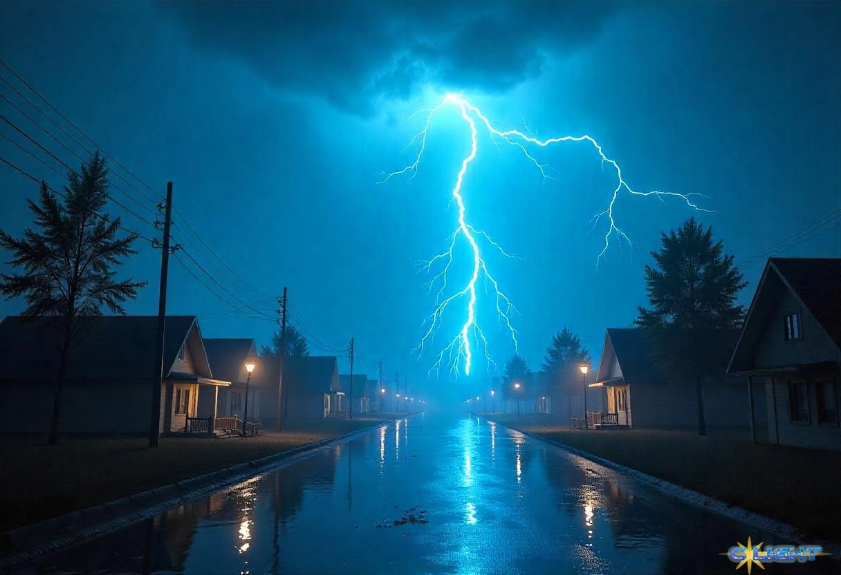
Get ready to see a number of different maps hitting your social media feeds today. Storm cells such as this one mean that almost everyone is going to experience some level of unpleasant weather. The challenge is how severe and where, precisely. As federal budget cuts have seen massive layoffs at NOAA, there are fewer meteorologists available to do things such as launch weather balloons that help predict the strength and likely direction of storm systems. To some extent, forecasters are looking at these storms with one eye blinded.
Overnight, heavy winds, rains, and moderate flash flooding hit places such as Dallas; Oklahoma City and Tulsa, Oklahoma; Topeka and Wichita, Kansas; Kansas City and Springfield, Missouri; and Des Moines, Iowa. During the day, the storm system shifts east, encompassing all of the Ohio River Valley from Illinois to Ohio, Kentucky, and parts of Tennessee and Mississippi. Then, overnight into Monday, the storm continues Eastward, bringing possible devastation to much of the East Coast, including snow and ice as far North as New York and thunderstorms with the risk of tornadoes as far South as Georgia.
Not only are local meteorologists having to deal with the loss of human resources at NOAA, but state and local emergency management agencies are under increased pressure as FEMA has been largely gutted. The White House says that funding should go to the states, but at the moment, that funding has yet to arrive or even have any form or budget. Any damage caused by this storm system likely has to be absorbed by the state, severely slowing down and limiting recovery efforts.
Fortunately, many local television stations have multiple meteorologists on staff, which helps improve forecasting at the local level. Residents in the Midwest are advised to perhaps keep a television on in the background after 2:00 this afternoon (EDT) as the system begins to arrive in the area. The National Weather Service will still provide watches and warnings to given areas based largely on the conclusions of these local meteorologists.
While everyone hopes that the storms are not as strong as conditions indicate, should this prove to be a substantial weather system with widespread power outages and devastation, it could be a real test of how federal budget cuts and layoffs affect the critical weather prediction system in the US.
Discover more from Clight Morning Analysis
Subscribe to get the latest posts sent to your email.


